Mohnenfluh
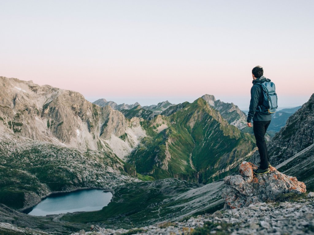
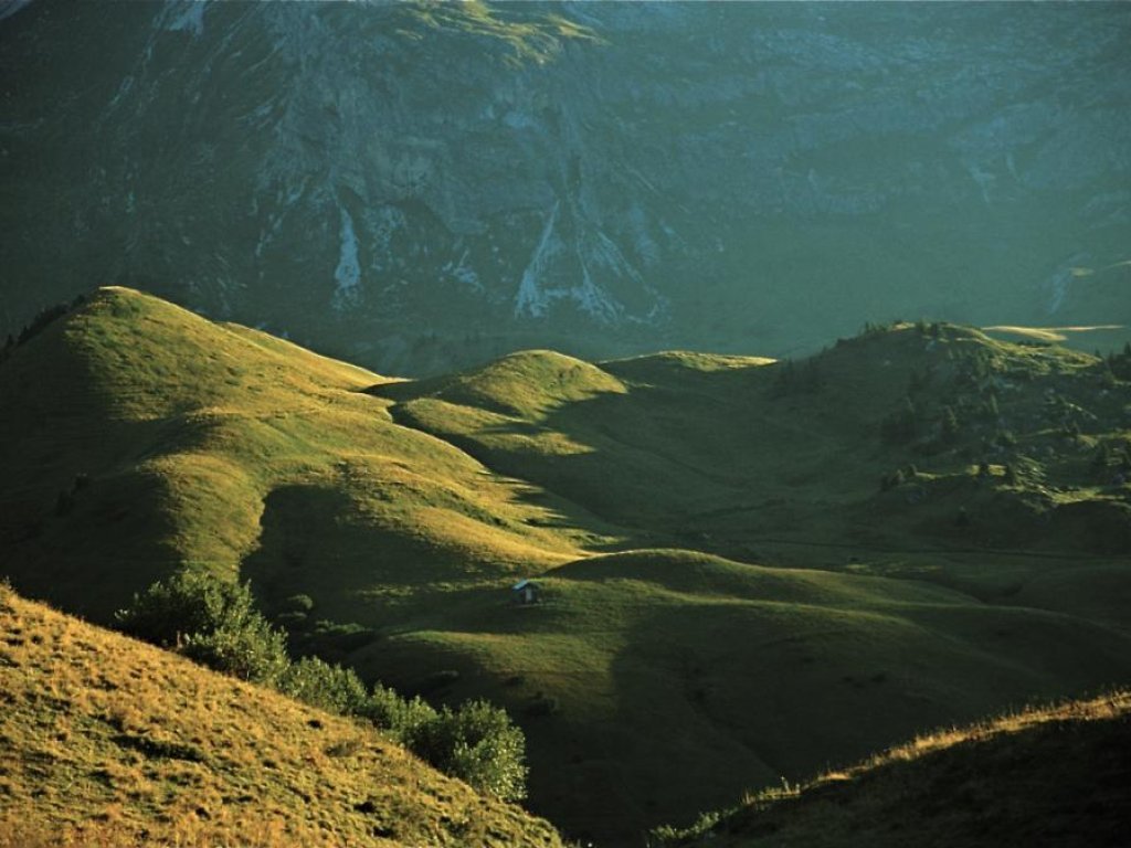
This hike is particularly rewarding when undertaken at sunrise. You can enjoy the first rays of sunlight of the new day across dewy, steaming pastures looking towards the peak.
A challenging hike that leads to the viewpoint Tannberg with a barbecue area. Continue uphill to the Unteren Gaisbühealpe, across the impressive Mohnenfluhsattel saddle to the summit of Mohnenfluh (2,542 m) with breathtaking views.
Directions
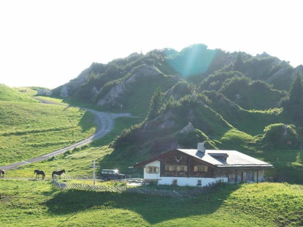
Take the hiking bus towards Oberlech directly from the hike starting point at the post office. Get off at the last stop ”Schlössle” and follow road uphill. Soon a paved back road branches off to the right, so you will get to the (1) view point ”Tannegg” incl. barbecue site. A gravel hiking trail to your right leads down into the valley and across a wooden bridge to the other side of the Tobel River. From here, the trail ascends gently to the (2) Untere Gaisbühelalpe. Turn left here and hike through sometimes swampy mountain pastures across the valley floor. A mule track then takes you quite steeply upwards to the Obere Gaisbühelalpe. Walk past it and then in a wide circle gently uphill to the basin below the Mohnenfluh saddle. Carry on to the Mohnenfluh saddle and continue towards the mountain on a path with steep hairpins and across rocks and boulders to the peak. From the (3) Mohnenfluh peak (2,542 m) you can enjoy a fantastic panoramic view. Follow the path back to the Mohnenfluh saddle and from there keep to the right until you reach the top station of the Steinmähder lift. The path leads to a supply road, which you follow downhill to the (4) Kriegeralpe. Treatyourself to a little rest and enjoy the traditional cuisine. Then continue along the supply road going downhill. Soon, a path branches off to the right, which you follow going downhill. Turn left onto a path through pastures and walk downhill towards Oberlech. You will reach a wider riverside path, which you follow keeping right alongside the Gipsbach River. The path leads onto a paved back road. Turn right and walk past the Hotel Goldener Berg. Here you will reach a path that takes you to the top station of the (5) Oberlech cable car. Enjoy the comfortable ride back into the valley and to the starting point.
Suggestions
Special features: This hike can also be completed in the opposite direction, which makes this sunrise route very rewarding, too. The hike can be shortened by using the Petersbodenbahn cable car.
Sights: Peaks view – the view of Lake Constance from the peak is breathtaking.
Refreshment stops: Kriegeralpe, restaurants in Oberlech and Lech am Arlberg.
Best time of year
Equipment
Good footwear (ankle high, profile sole), rain protection, Lech Card and bus timetable.
Safety information
EMERGENCY CALL:
140 Alpine Emergencies Austria-wide
144 Alpine Noträlle Vorarlberg
112 Eruo emergency call (works with any mobile phone/network)
www.vorarlberg.travel/sicherheitstipps
Public transport
By train to Langen am Arlberg station or St. Anton am Arlberg. From there, buses (No. 750+760) run regularly to Lech Zürs am Arlberg.
Tour facts
- Data source
- vcloud, ID 50d3425b-d90f-472d-8383-5c26402d3900
- Last updated
- 04.05.2024, 01:05:01


